Blog

Case studies, methodology and trends in geoanalytics, customer intelligence and mobility simulation, written by the unica360 team

Latest posts
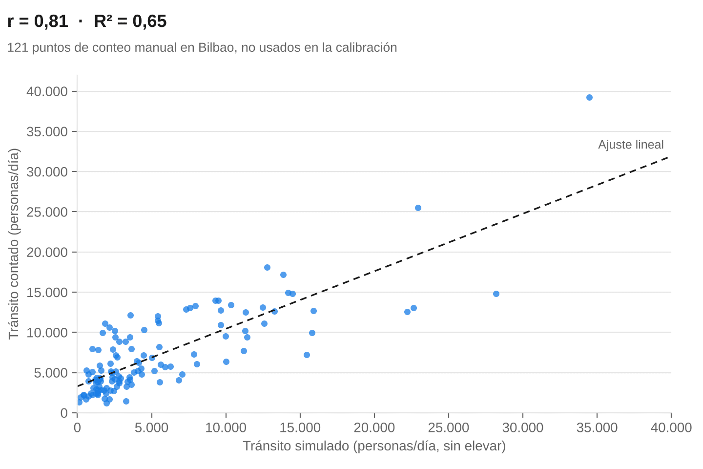
Pedestrian traffic simulation by street segment, validated in the field

Pedestrian traffic by street segment, simulated person by person and validated against 121 manual counts: 0.81 out-of-sample correlation. See how. [...]

Walking traffic estimation for location intelligence in Portugal

The analysis of pedestrian traffic usually begins with an apparently simple question: how many people pass by this point? That question starts from a conceptual ...
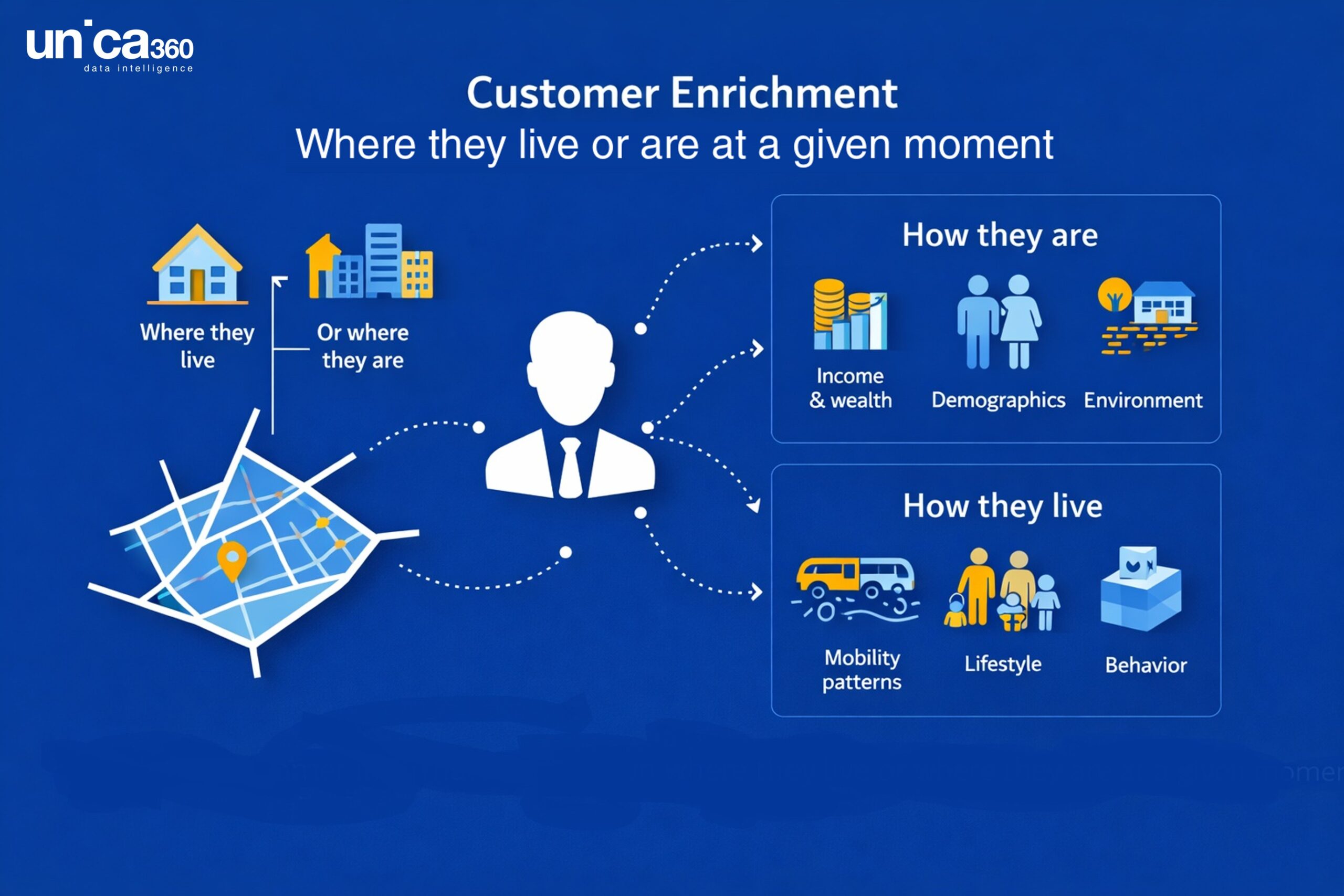
geoenrichment api customer enrichment

Geoenrichment API for Location Intelligence: Microterritory Data at Scale

Organizations increasingly rely on location intelligence data to understand markets, optimize networks of physical locations, and model demand across cities and regions. Retailers, financial institutions, urban planners, mobility operators, and real estate platforms all face ...
mapa mundo

Data for geomarketing and location intelligence: microtarget indicators in other countries

Today we conclude our series of articles in which we aimed to provide more detailed information about the dataset encompassed under the microtarget umbrella developed by unica360. In this final installment, we will talk about ...
trafico_vehiculos

Agent-based human mobility simulation… now for everyone

Human mobility is a process to which we devote a great deal of analytical effort. A problem: Transport is responsible for 25% of CO2 emissions, 70% of which comes from road traffic. 33% of workers ...

Categories

You've reached the end

Does your case look like any of these?

We can help. Get in touch and we'll get back to you within 48 hours.

Scroll to Top